Welcome to Edge Space

Exploring the edge of innovation and beyond

About Us

At Edge Space, we harness the full spectrum of Earth observation — from multispectral to hyperspectral — to turn satellite data into real-world intelligence. Using our advanced AI-powered Smart Engine, we extract deep, actionable insights even from limited-band multispectral data, allowing us to deliver meaningful results while reducing data acquisition costs for our clients. Whether it's agriculture, environmental monitoring, marine, or financial sectors, Edge Space transforms raw satellite imagery into precise, operational intelligence — making high-end geospatial analytics more accessible, scalable, and affordable than ever before.

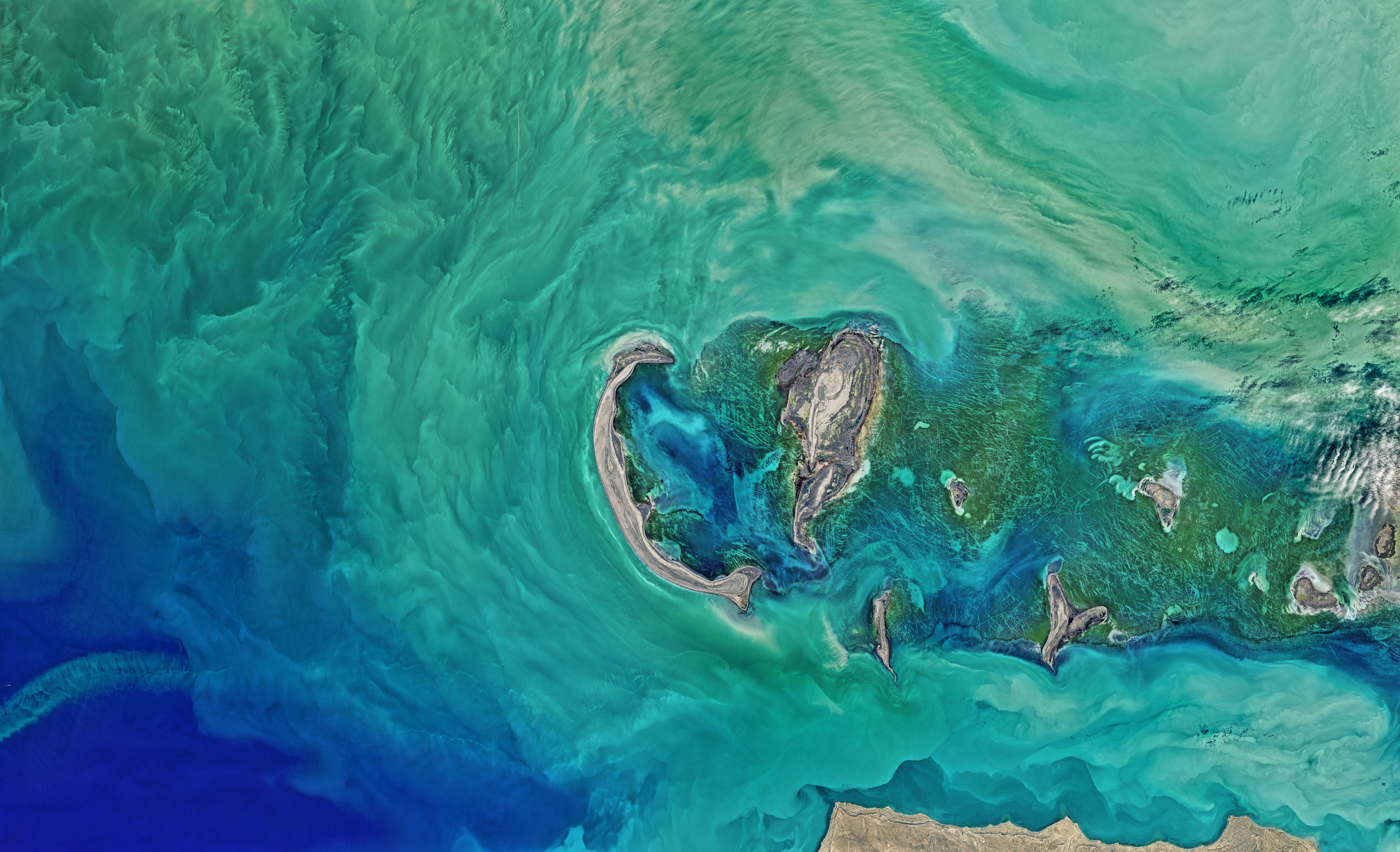
Satellite

Our Mission

At Edge Space, we strive to unlock the full potential of satellite data, making complex analytics simple, scalable, and impactful for every client we serve.

Our Vision

Our vision at Edge Space is to become the trusted, adaptive partner for satellite data analytics — delivering tailored, client-specific insights that seamlessly integrate into complex operations across industries. With our AI-driven Smart Engine, we confidently meet each client’s unique challenges, no matter how specialized or evolving. As we grow, we are building toward full vertical integration — controlling both data collection and analysis — to provide complete, end-to-end geospatial intelligence solutions that empower businesses to act with clarity, precision, and confidence.

Our Services

Insurance

Underwriting risk assessment- Claims validation and verification- Natural disaster exposure analysis (flood, cyclone, wildfire)- Property condition monitoring

Agriculture

Crop health monitoring (NDVI, chlorophyll analysis)- Yield estimation and forecasting- Early detection of crop stress, pests, or diseases- Soil moisture and nutrient mapping

Banking and Finance

Agricultural loan risk scoring- Collateral monitoring for farm and land-backed loans- ESG compliance monitoring- Environmental risk assessments for lending portfolios

Maritime

Port infrastructure monitoring- Marine pollution detection (oil spills, algal blooms)- Coastal erosion and shoreline change monitoring- Vessel activity tracking

Mining

Mineral exploration mapping- Mine site change detection- Tailings dam monitoring and compliance- Environmental impact assessment

Environmental Monitoring

Deforestation and land use change analysis- Wetland and watershed health assessment- Carbon stock estimation- Biodiversity and habitat monitoring

Government and Public Sector

Disaster preparedness and response- Urban development planning- Food security monitoring- National scale environmental reporting

Contact Us